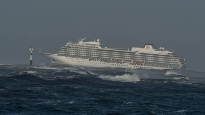
For particularly exposed waters, the Norwegian Coastal Administration is introducing navigation restrictions for passenger vessels over 150 metres in length. The measure is intended to enhance the safety of large passenger ships in areas where weather conditions can make search, rescue and emergency response operations challenging.
The new regulations will enter into force on 1 January 2026 and will apply to designated areas when the Norwegian Meteorological Institute issues a forecast of strong gale conditions, defined as a mean wind speed of 17.2 m/s (Beaufort force 8) or higher.
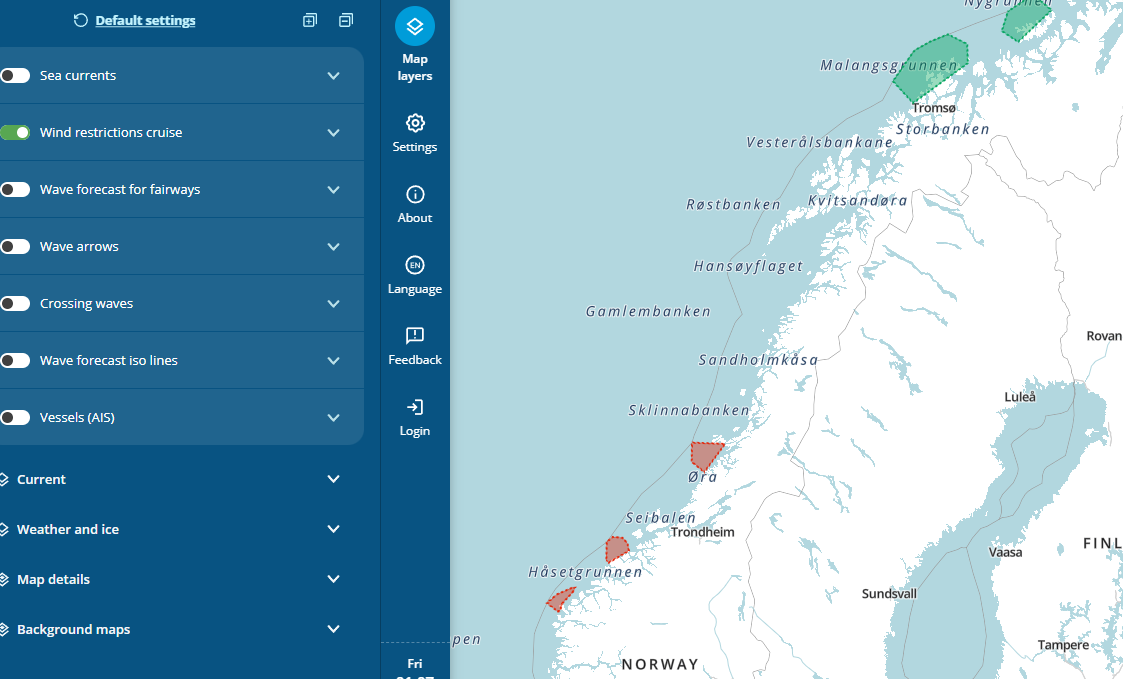
The restriction applies to six exposed coastal stretches: Stad, Hustadvika, Folda, Fugløykalven, Sørøya and Honningsvåg.
The areas can be found here (in nowegian): https://kystinfo.kystverket.no/sjotrafikkforskrift
Read more about the new weather based navigation restrictions for cruise ships
In the Barentswatch Waveforecast service, the areas have been added as a feature to help plan your voyage and provide information about the ban.
The areas with travel bans can be found on the map here.
Download a PDF with further information and guidance here: Guidelines for practical implementation of weather restrictions for cruise ships.pdf
If you have any questions about the regulations or the weather in an area, please contact: NOR VTS
Telephone: +47 78 98 98 98 VHF: Coastal radio E-mail: nor.vts@kystverket.no